NCSU GeoForAll Lab
NCSU OSGeo Research and Education Laboratory
GIS-based fire spread modeling
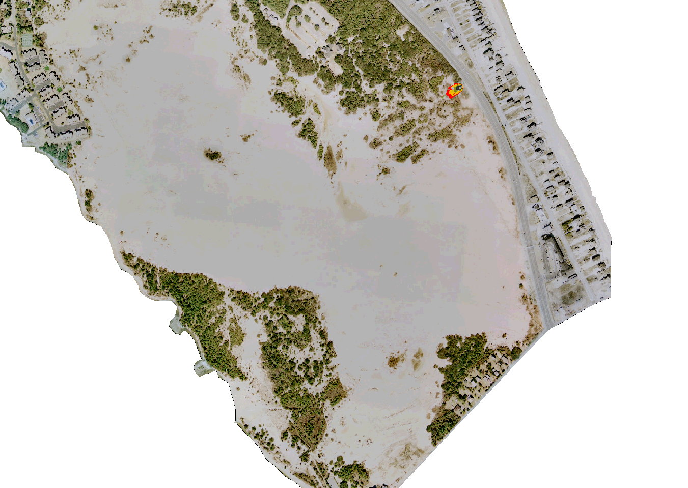
Fire spread simulation around Indian Hill (in the center) in Mammoth Cave National Park.Fire spread simulation in Jockey's Ridge State Park.Two scenarios of wildfire spread in Tangible LandscapeWildfire spread simulation result in a web mapping applicationTwo scenarios of wildfire spread in Tangible Landscape
GRASS GIS modules we used and contributed to:
r.ros,
r.spread
and a module not included in the distribution
r.fire.spread.