Spatio-temporal data visualization in GRASS GIS: desktop and web solutions
This is a supporting page for a paper Spatio-temporal data visualization in GRASS GIS: desktop and web solutions submitted to FOSS4G 2014 conference. The article is in review.
Abstract
GRASS GIS, a free and open source geographic information system, provides the functionality to manage, analyze and visualize geospatial data. Recently, a temporal dimension has been integrated into GRASS GIS as a response to an in- creasing accessibility and importance of spatio-temporal data. However, to fully benefit from such data new capabilities for exploratory visualizations are needed. We present a set of tools for spatio-temporal data visualization which reflects data complexity and also supports online sharing. The GRASS GIS Animation Tool is a desktop application working directly with different types of spatio-temporal data stored in GRASS GIS. We can display synchronized animations of raster, vector and 3D raster data in two- and three-dimensional views. To share spatio-temporal visualizations online, we have developed web map applications which enable users to explore the data as animations or derive supporting information such as his- tograms. Our solution does not require any server-site application and enables a file-based offline sharing and an easy online publication without any special re- quirements on users’ software or servers. We demonstrate the desktop and online tools on several use cases, namely solar radiation and fire spread modeling, soil moisture analysis, and cumulative cost surface visualization.
Keywords: animation, 3D, HTML5, Leaflet, D3.js, comet-like visualization
Use cases
Solar radiation
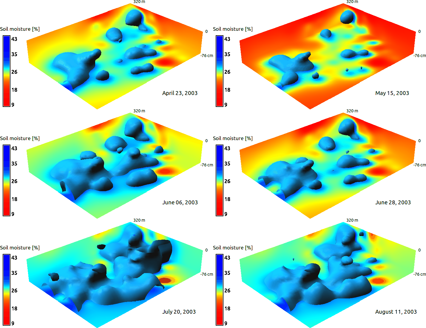
Soil moisture changes

Wildfire spread
Comet-like visualization of cumulative cost surface
Software download and source code
- GRASS GIS
- GRASS GIS Animation Tool source code online browser
- GRASS GIS modules for export for interactive web mapping applications
- Web mapping applications based on Leaflet
- Tools for comet-like visualization